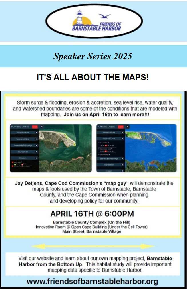
Storm Surge & Flooding, Erosion & Accretion, Sea Level Rise, Water Quality and Watershed Boundaries.
These are some of the conditions that are modeled with mapping.
Jay Detjens, Cape Cod Commission's 'Map Guy' will demonstrate the maps and tools used by the Town of Barnstable, Barnstable County, and the Cape Cod Commission when planning and developing policy for our community.
Come learn how you can use these online tools yourself.
Stay informed, participate in local discussions that safeguard the long-term health and accessibility of the harbor.